Jamaica Bay Wildlife Refuge:
The beach and marshes on the western shore, and the rangers station


The paths fanning out from the Visitors Center and circling the west pond


views of Broad Channel from the turn of the century


And Broad Channel today....there are still a number of houses and structures built on stilts


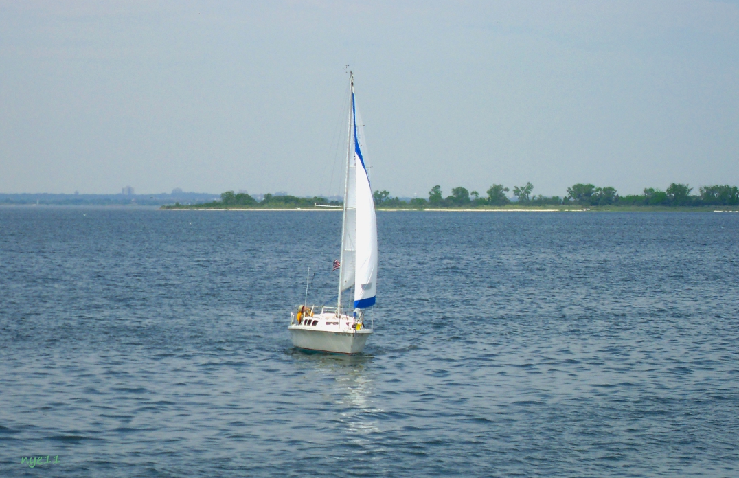
The Iroquois Yacht Club founded in 1894

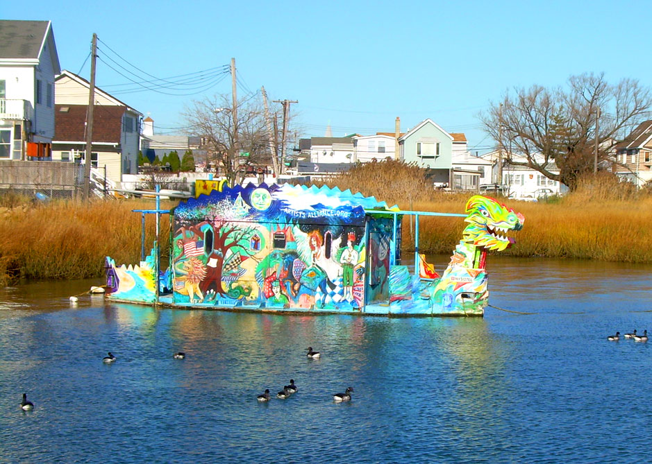
A small houseboat decorated and owned by the Rockaway Artists Alliance (http://www.rockawayartistsalliance.org/ )

more waterfront homes


did this one start out as a summer cottage?

some interesting decorations........
Jesus, Mary and a wide mouth bass


The beach and marshes on the western shore, and the rangers station


The paths fanning out from the Visitors Center and circling the west pond


 |
| the osprey family |
With the Manhattan skyline in the far distance, Elders Point Island can be seen beyond the refuge's shore. Since 2006 the Army Corps of Engineers has been filling and replanting the disappearing island. It's estimated that almost 1,400 acres of salt marsh from the islands has been lost since 1924. At the current rate of erosion, the salt marsh islands will disappear completely in 30 years


Broad Channel:
Excerpts adapted from "The Other Islands of New York City "
by Sharon Seitz & Stuart Miller
by Sharon Seitz & Stuart Miller
"The city issued permits to anyone who wanted to live in, or develop, the bay area. Broad Channel, unlike the patchwork communities on The Raunt or Goose Creek, grew into a thriving community. By 1908, there were stores, a church, a volunteer fire department with 185 firemen, and four hundred houses, each paying an average of twenty-five dollars rent to the city's dock department.
By 1917, plants in Queens and Brooklyn were daily discharging fifty million gallons of inadequately treated waste into the bay, poisoning clams, oysters, and ultimately people. The water became so polluted that in 1921 the department of health abolished shellfishing in Jamaica Bay altogether, destroying both a major industry and a way of life.
Despite the demise of the long-established fishing industry and the collapse of plans for the harbor, Broad Channel flourished, albeit illegally. During Prohibition, the island, too remote for police raids, proved the perfect venue for rum-running. This sleepy island getaway suddenly became a notorious nightspot. Yacht clubs, speakeasies, and lodgings like the Enterprise Hotel sprang up on what became known as Little Cuba, a homegrown Havana tucked away in New York City.
Despite the demise of the long-established fishing industry and the collapse of plans for the harbor, Broad Channel flourished, albeit illegally. During Prohibition, the island, too remote for police raids, proved the perfect venue for rum-running. This sleepy island getaway suddenly became a notorious nightspot. Yacht clubs, speakeasies, and lodgings like the Enterprise Hotel sprang up on what became known as Little Cuba, a homegrown Havana tucked away in New York City.
Broad Channel's popularity increased when Cross Bay Boulevard was finished in 1923. Motorists in dandy new cars now zipped to the island at whim, free from train-schedule constraints. The road also paved the way for Broad Channel's growth as a year-round community, a change ushered in by the Great Depression and the need for cheap housing. Bungalows were winterized and many summer residents moved in permanently."
views of Broad Channel from the turn of the century


 |


From the 1970s; urban farming and open ditches


these cottages are only reachable by a narrow footbridge 


The Iroquois Yacht Club founded in 1894

A small houseboat decorated and owned by the Rockaway Artists Alliance (http://www.rockawayartistsalliance.org/ )
more waterfront homes


and of course the A train


some interesting decorations........
Jesus, Mary and a wide mouth bass

and an eclectic mix

archival photos from Library of Congress collection
all other photos copyright nycedges 2011